- English
Languages:
This site is created using Wikimapia data. Wikimapia is an open-content collaborative map project contributed by volunteers around the world. It contains information about 32742413 places and counting.
Learn more about Wikimapia and cityguides.
Sattur
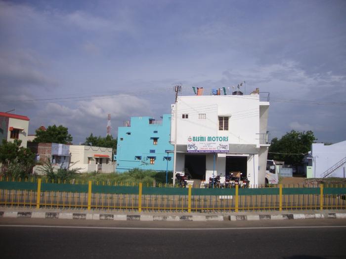
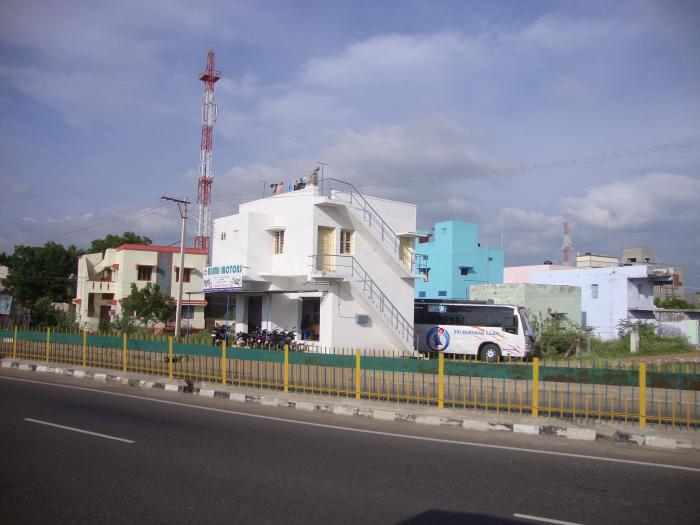
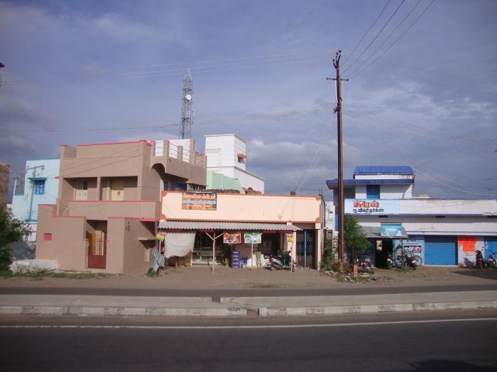
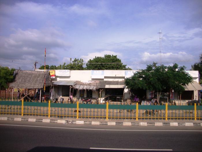
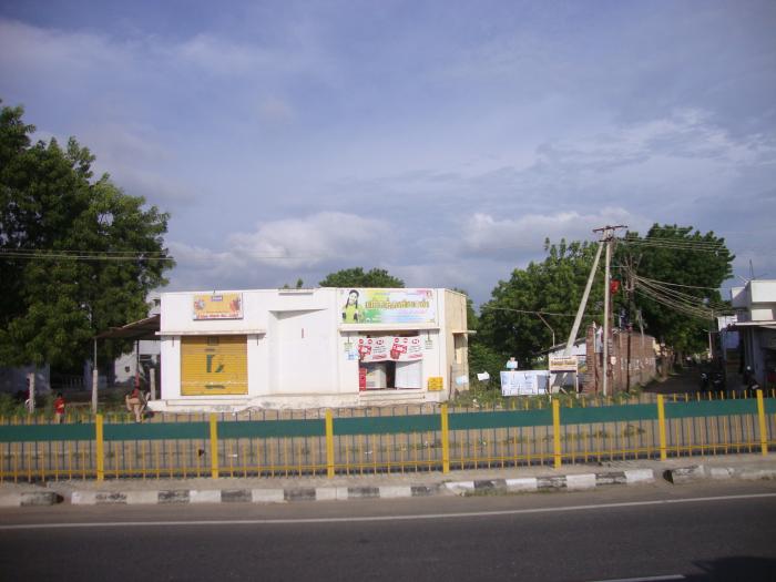
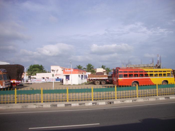
Sattur town lies 75 km south of Madurai city and 22 km South of Virudhunagar town on the Kashmir – Kanyakumari National Highway No.7,being a Second grade municipality with an area of 3.83 sq. km. The town has a population of 31274 as per the 2001 census.
The town is well connected, by the N.H. 7, (Thiruchendur - Turticorin with Madurai city, and a Major District road with Virudhunagar Aruppukottai, Paramakudi, and Rameswaram town. The town is also linked with Virudhunar by Broad gauge Railway line.
Places of Interest:
Vembakottai Dam:
Vembakottai Dam is located 20 km north east direction It is built across the River Vaippar.
Andal Temple:
Andal Temple at Srivilliputhur is located 40 km from sattur town This temple tower is the emblem of Tamilnadu.
Wikipedia article: http://en.wikipedia.org/wiki/Sattur
Sattur town lies 75 km south of Madurai city and 22 km South of Virudhunagar town on the Kashmir – Kanyakumari National Highway No.7,being a Second grade municipality with an area of 3.83 sq. km. The town has a population of 31274 as per the 2001 census.
The town is well connected, by the N.H. 7, (Thiruchendur - Turticorin with Madurai city, and a Major District road with Virudhunagar Aruppukottai, Paramakudi, and Rameswaram town. The town is also linked with Virudhunar by Broad gauge Railway line.
Places of Interest:
Vembakottai Dam:
Vembakottai Dam is located 20 km north east direction It is built across the River Vaippar.
Andal Temple:
Andal Temple at Srivilliputhur is located 40...
 Reduce description
Sattur on the map.

Recent city comments: